Colonial cartography
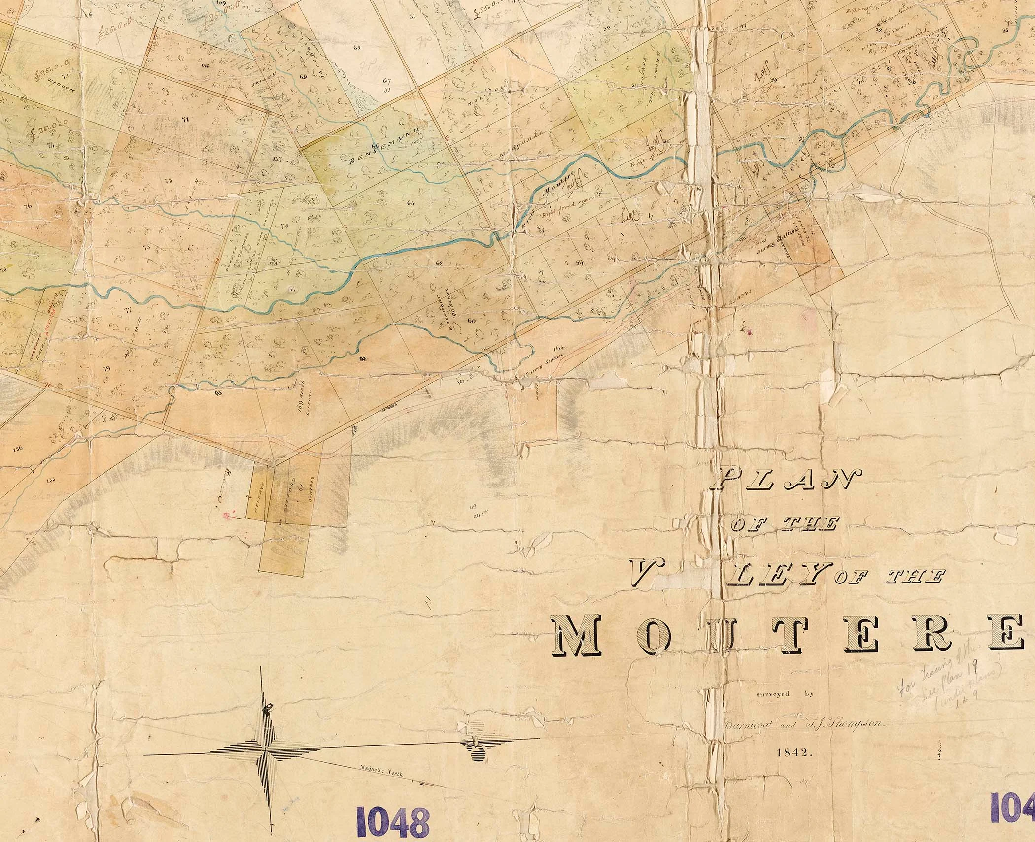
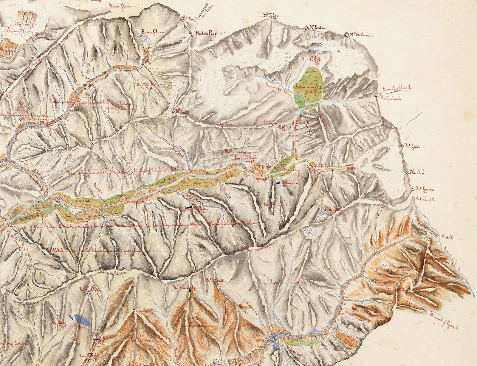
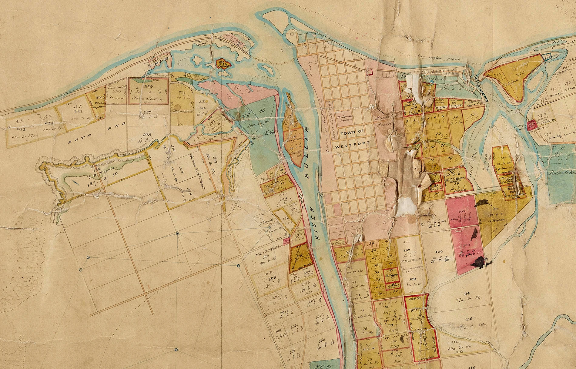
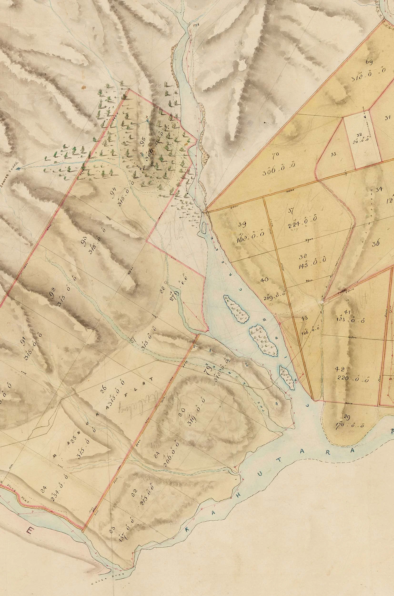
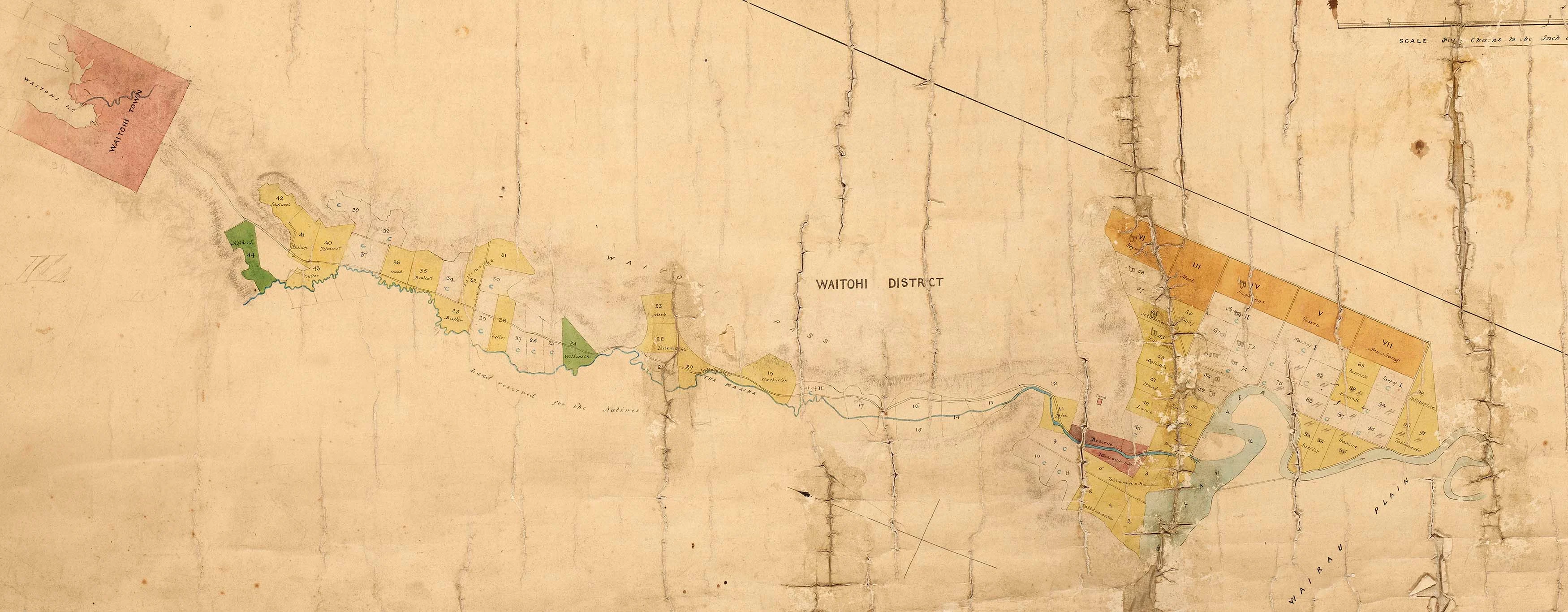
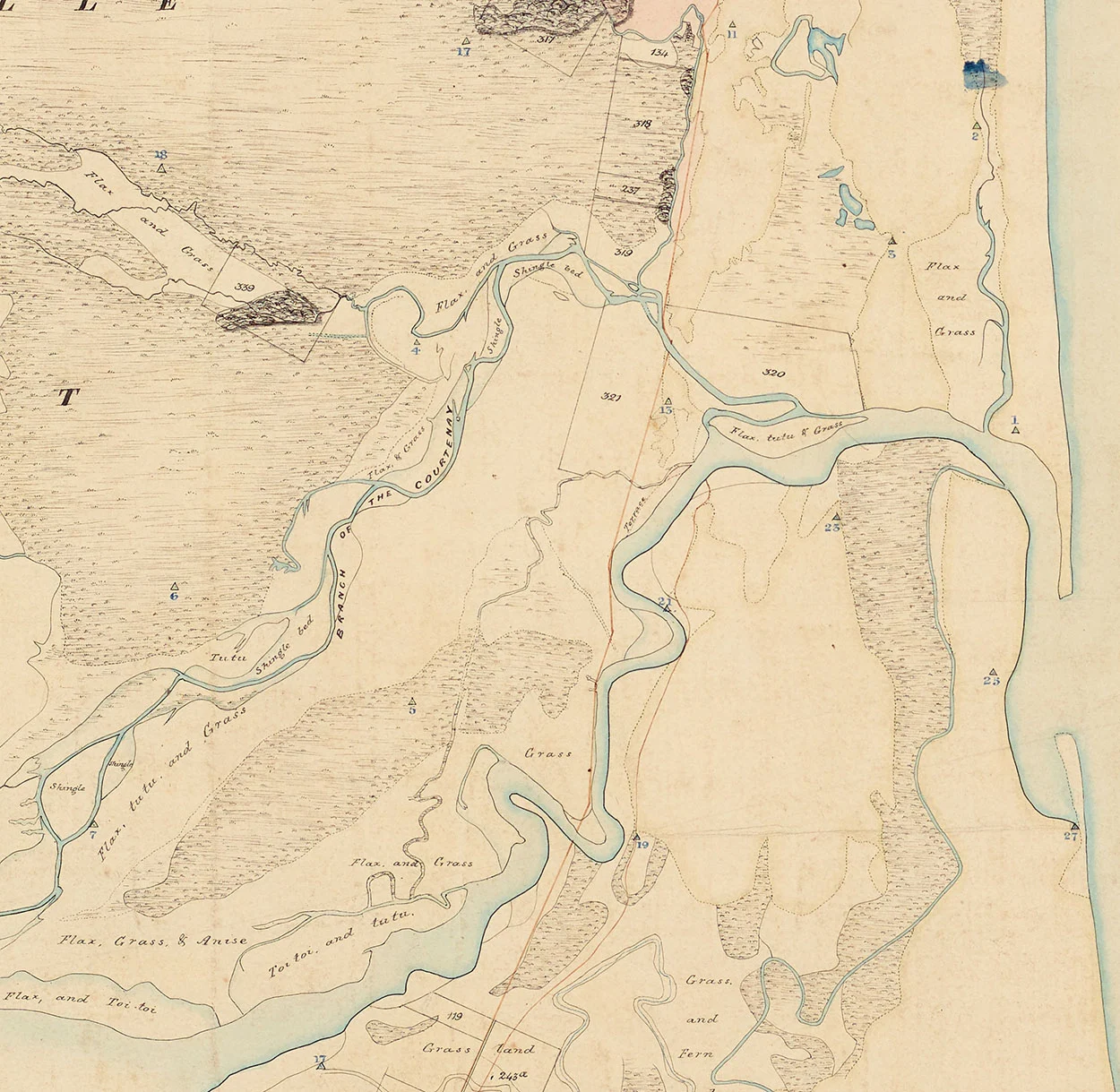
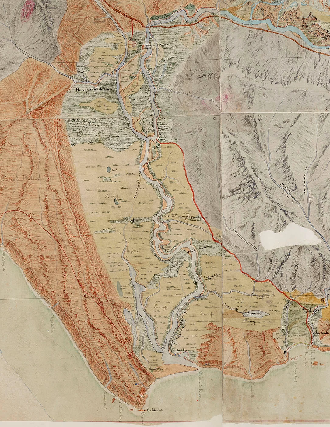
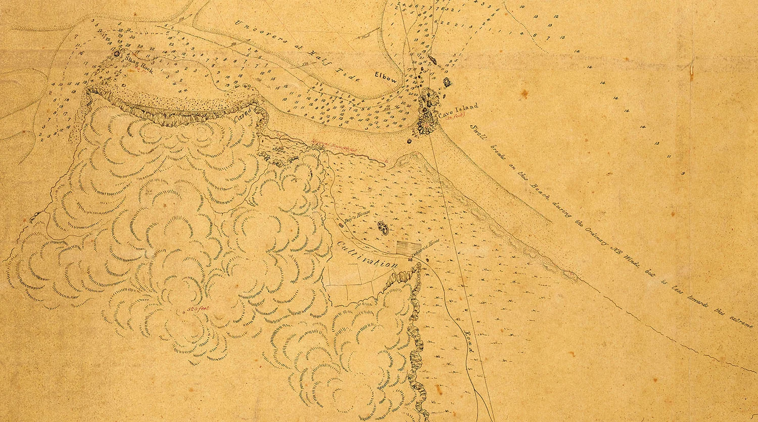
We hold early survey maps dating from approximately 1840–1880. These are fascinating objects displaying the skill and artistry of the surveyors and draughtsmen. An increasing number of the Canterbury, Westland, Nelson and Marlborough Land District maps are now available to view online. This is thanks to a project led by Land Information New Zealand, with Ngāi Tahu, Environment Canterbury and our staff in Christchurch.
Early survey parties were deployed to identify favourable European settlement sites and to enable the legal purchase and sale of land. The surveyors explored the country with the assistance of Māori guides, marking trig points to take measurements from, and entering data and observations in their field books for later mapping. The surveyors gathered their data using various instruments including a theodolite to measure angles.
The maps document the landscape prior to large-scale European settlement. They show rivers, vegetation, disused tracks and place names, along with cadastral information (the legal description, boundaries and area of land parcels). Continued annotations in the working life of the maps mean that some roads, railway lines and names of first purchasers or lessees may also be found.
To navigate around a map with your mouse, set the image to full screen view using the button on the left of the zoom buttons.

